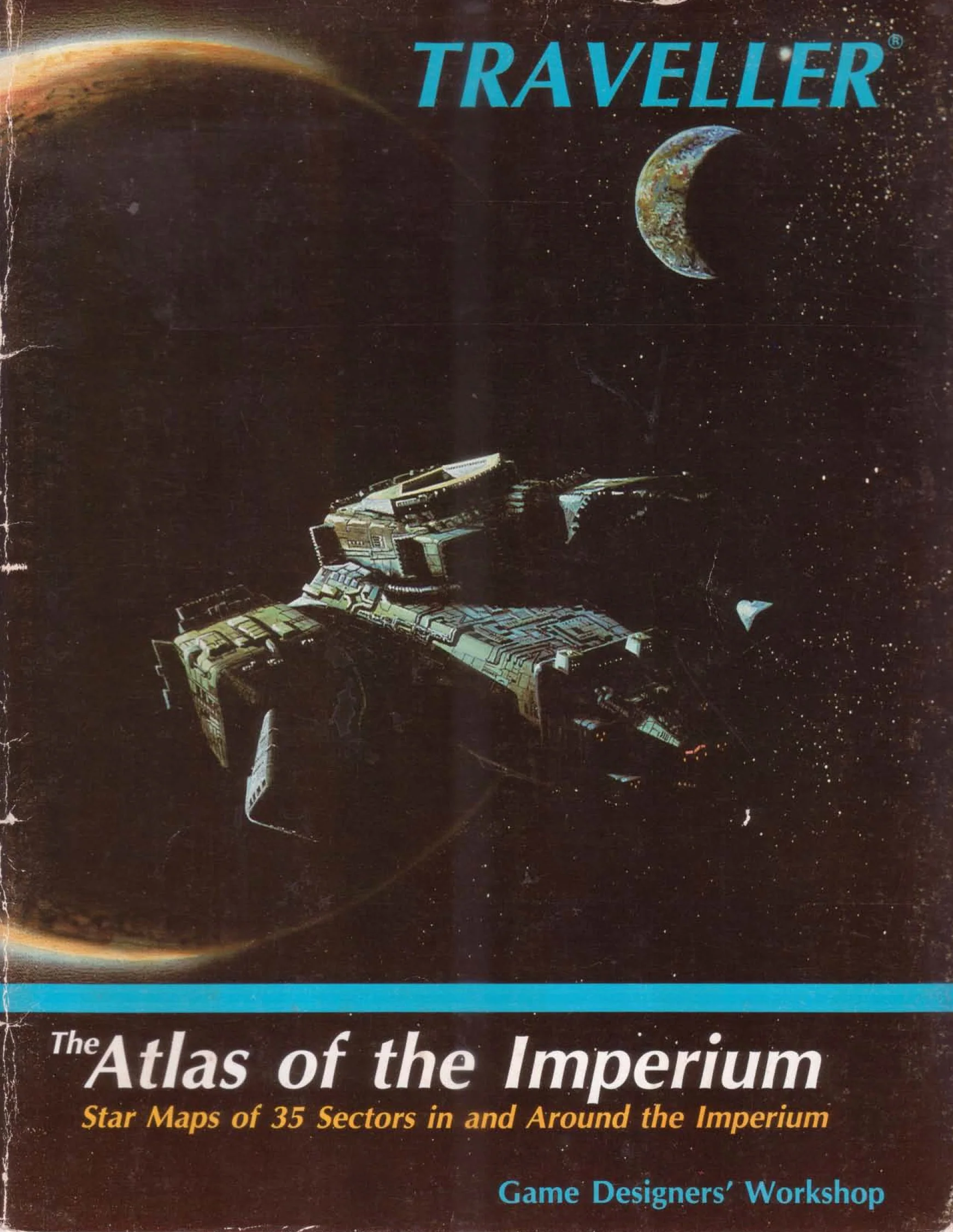
Atlas of the Imperium ebook
The Imperial Interstellar Scout Service's famed Second Survey of the Imperium, (originally published in 1065) now is available in a condensed commercial edition mapping thirty-five sectors in and around the Third Imperium. All pertinent astrographic data is presented on thirty-five full page (8 1/2 by 11 inch) maps showing every Imperial sector from the fabled Core (the centre of the Empire) to the Vland, Corridor, Deneb, and Spinward Marches sectors; from Verge on the edge of the Rift to Ilelish, Magyar, and Daibei sectors; from distant Antares to the Delphi, Old Expanses, and Solomani Rim sectors. Every world of the Imperium is shown, each in its proper location.
Each world on the map is shown with base, starport, and world type (standard, desert, or asteroid belt), and high-population worlds are named. A page entitled Mapping the Imperium briefly describes the process behind the First and Second Surveys, and provides a Key to the symbols used on the maps.
Includes the Enhanced 2016 edition.
Original: $16.00
-70%$16.00
$4.80Product Information
Product Information
Shipping & Returns
Shipping & Returns
Description
The Imperial Interstellar Scout Service's famed Second Survey of the Imperium, (originally published in 1065) now is available in a condensed commercial edition mapping thirty-five sectors in and around the Third Imperium. All pertinent astrographic data is presented on thirty-five full page (8 1/2 by 11 inch) maps showing every Imperial sector from the fabled Core (the centre of the Empire) to the Vland, Corridor, Deneb, and Spinward Marches sectors; from Verge on the edge of the Rift to Ilelish, Magyar, and Daibei sectors; from distant Antares to the Delphi, Old Expanses, and Solomani Rim sectors. Every world of the Imperium is shown, each in its proper location.
Each world on the map is shown with base, starport, and world type (standard, desert, or asteroid belt), and high-population worlds are named. A page entitled Mapping the Imperium briefly describes the process behind the First and Second Surveys, and provides a Key to the symbols used on the maps.
Includes the Enhanced 2016 edition.